Fites, creus i noms de lloc
Els termes de Barcelona i dels municipis agregats
- Author/s
- Jesús Burgueño
- Collection
- Barcelona City and Neighbourhoods
- Subcollection
Museu d'Història de Barcelona
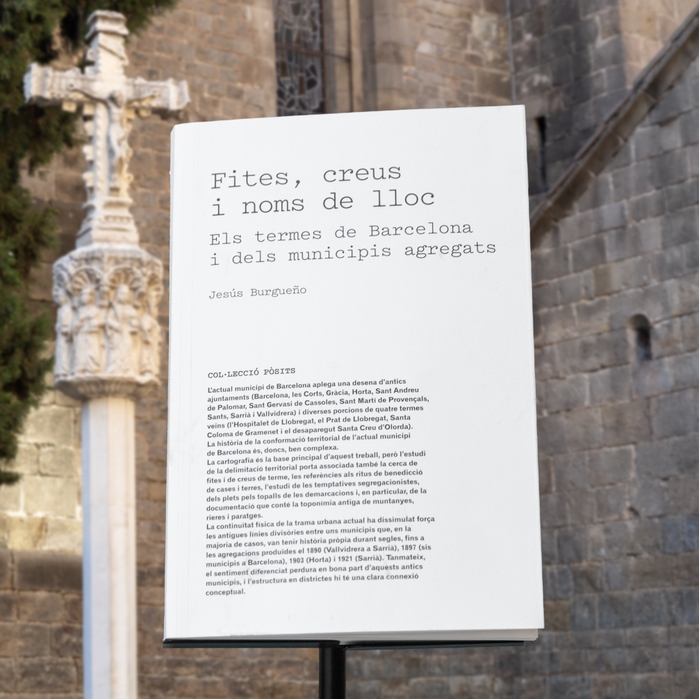
The complex story of how the map of the city of Barcelona and its current districts took shape.
The current municipality of Barcelona covers around ten old town councils (Barcelona, Les Corts, Gràcia, Horta, Sant Andreu de Palomar, Sant Gervasi de Cassoles, Sant Martí de Provençals, Sants, Sarrià and Vallvidrera) and several portions of four of its neighbours (L’Hospitalet de Llobregat, El Prat de Llobregat, Santa Coloma de Gramenet and the non-extant Santa Creu d’Olorda). The history of how the current borders of the municipality of Barcelona took shape is therefore highly complex.
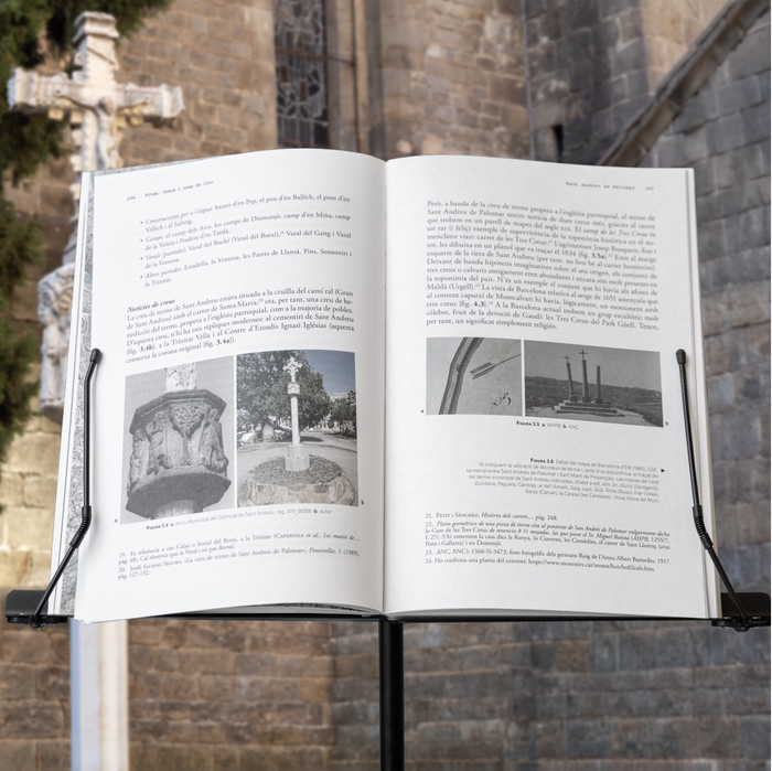
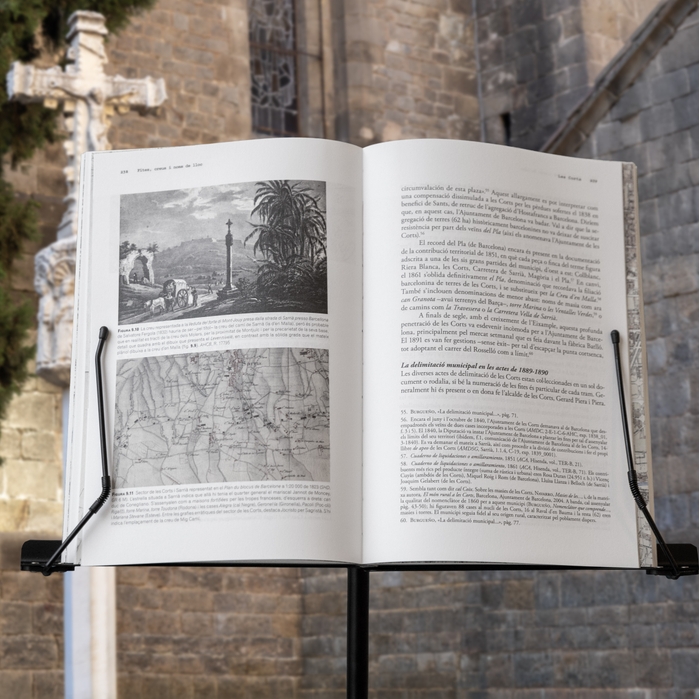
Cartography is at the heart of this book, but with research into territorial limits also comes exploration of milestones and wayside crosses and references to home- and land-blessing rituals, as well as a study of attempts at segregation, disputes over territorial divisions and, in particular, documents that point to the old toponyms for mountains, streams and other spots.
The physical continuity of the current urban layout has somewhat blurred the old lines dividing municipalities that, in most cases, had their own history for centuries, until the annexations of 1890 (Vallvidrera onto Sarrià), 1897 (six municipalities onto Barcelona), 1903 (Horta) and 1921 (Sarrià). Nonetheless, distinct identities endure in many of these old towns, and their conceptual connection to the city’s district-based structure is clear.
Technical Data
- Publication language: Catalan
- Year: 2026
- Pages: 384
- Cover: Paperback cover flaps
- Format: 16 x 24 cm
- ISBN City Council: 978-84-9156-670-0
- Publishing distributor: Xarxa de Llibres
Price
25.00€Online selling points
Selling points
- Ve de Barcelona
- Llibreria - Museu d'Història de Barcelona
-
Llibreries habituals
Related titles
Vil·la Joana. Casa Verdaguer de Literatura
Josep M. Domingo, Oriol Izquierdo, Cristina Masanés, Ramon Pinyol i Torrents and Joan Roca i Albert
 Ebook
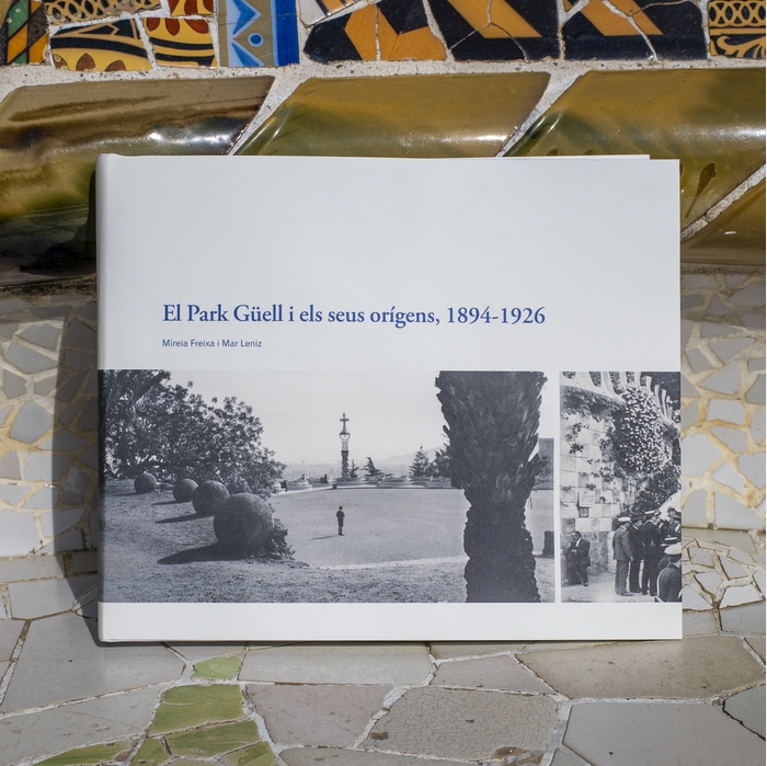
El Park Güell i els seus orígens, 1894-1926
Mireia Freixa Serra and Mar Leniz Sánchez

Atles MUHBA d’història de Barcelona
Museu d'Història de Barcelona, Joan Roca Albert and DD. AA
 Read a sample

Barcelona, esplendor i crisi del segle XV
Pere Orti Gost and Pere Verdés Pijuan