inLane
Reference framework
Lane-level vehicle positioning and map-matching are just a few of the challenges faced by navigation systems. Although vehicle data transmission offers services with positioning requirements met by low-cost GNSS receptors, deploying driver- and road-assistance requests is more complex and frequent, thanks to growing demand. The European Commission has decided to fund the Low Cost GNSS and Computer Vision Fusion for Accurate Lane Level Navigation and Enhanced Automatic Map Generation (inLane) project, under the Galileo Horizon 2020 Growth work project, which is part of the series of initiatives that combine technological and research innovation. Barcelona City Council, in partnership with the IMI, is taking part in this project. Barcelona City Council's participation consists of providing boundary conditions and defining requirements.
Description
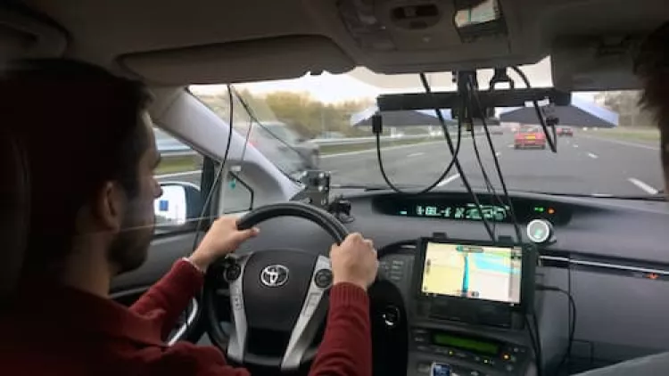
The goal behind the inLane project is to develop a new generation of applications that give a precise turn-by-turn location through the fusion of EGNSS and Computer-Vision technology. These applications require a more precise and reliable positioning subsystem. The precision of positioning data is a key factor, although there is still the question of adapting navigation systems to these applications. This depends on the availability of an exact common reference for positioning (enhanced mapping) and at the level of the provided pose estimation (integrity).
Combining the delivery of lane-level information to a navigation system inside the vehicle and the opportunity for vehicles to exchange information with each other, would give drivers a chance to choose the optimal lane, even when the traffic is dense, in both urban and suburban areas. In the future, every driver will be able to choose the appropriate lane and be capable of reducing the risks associated with last minute lane-change manoeuvres.
Work is being carried out under the InLane project to develop a new generation of navigators with enhanced mapping information offering real-time updates based on crowdsourcing techniques. The resulting lane-level vehicle positioning will take navigation to a new level of detail and effectiveness.


